Crop monitoring
Repeatable flights that make change visible across the growing season.

Precision agriculture · Central Europe
SkyCore combines targeted drone application and high-resolution mapping to help farms act precisely, quickly and with less waste.
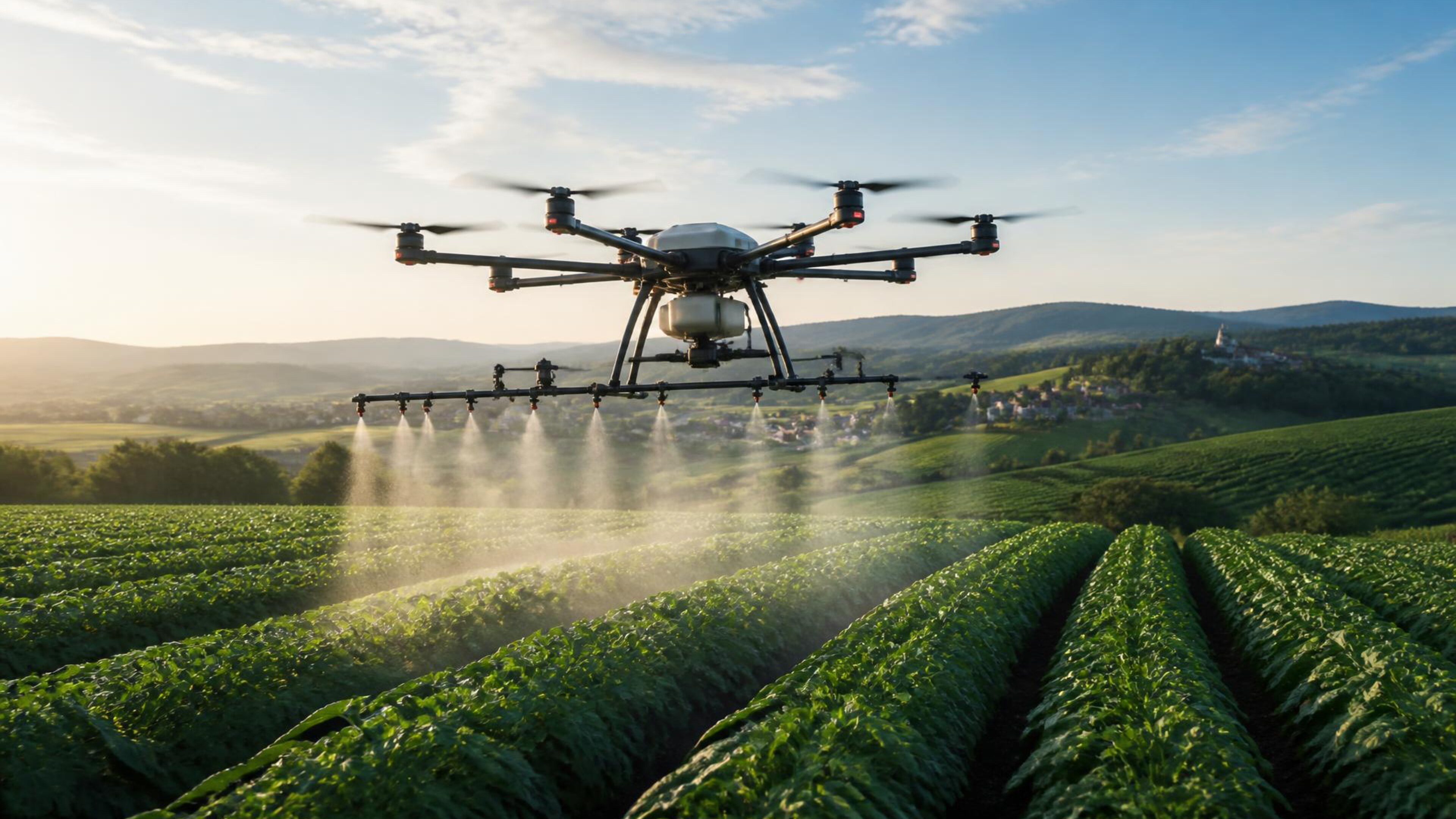
01 — Precision fertilizingTargeted aerial application across difficult terrain with controlled coverage and minimal crop disturbance.
What we do / 01
Targeted aerial application across difficult terrain with controlled coverage and minimal crop disturbance.
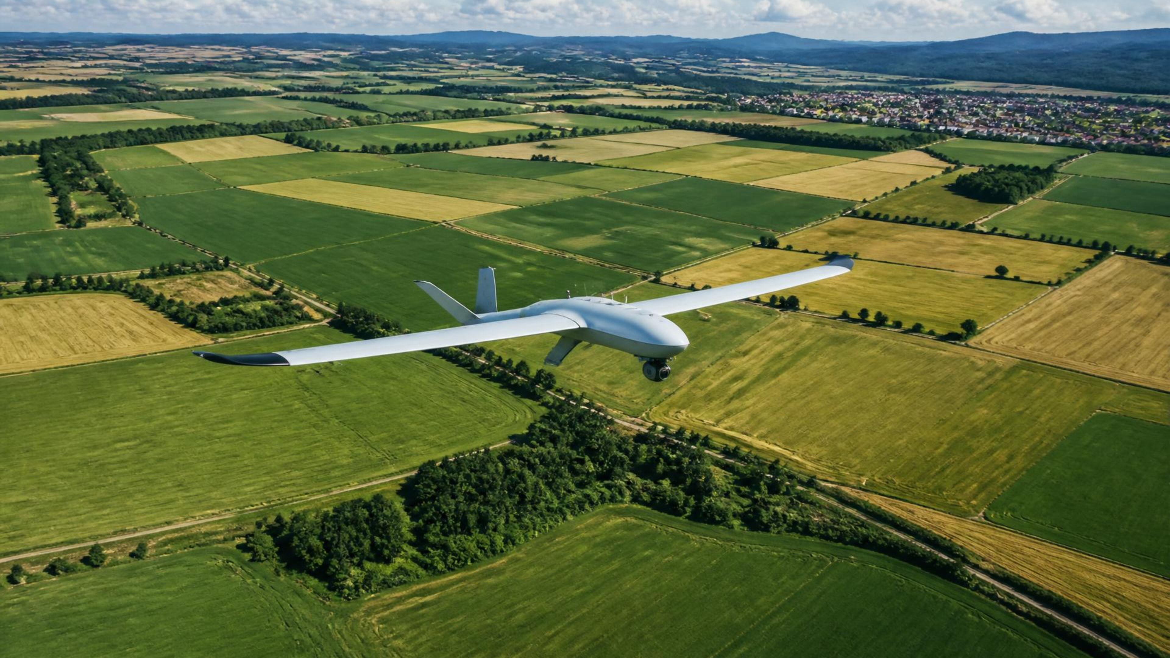
Repeatable flights that make change visible across the growing season.
Clear outputs your agronomist and operators can use immediately.
How it works
Share the field and the objective.
We prepare the safe, precise flight.
Our team captures or applies efficiently.
Receive treatment records, maps and insight.
Sample deliverable
After a mapping or monitoring flight you get a crop-health (NDVI) map, zone breakdown and recommendations, ready for your agronomist or variable-rate equipment.
Sample shown for illustration — not a real client report.
Safe, legal, documented
Pilot certificate numbers will be listed here.
Details being addedDrone registration and type approval details will be listed here.
Details being addedInsurance provider and cover will be listed here.
Details being addedEvery job gets a flight log, boundary file and application report.
Applying fertilizers and nutrients by drone follows a simpler process than pesticide spraying. Pesticide application is only allowed with approved products, registered drones and qualified pilots, and rules differ between Slovakia and Hungary. We check the rules for your field before every job.
Official Hungarian guidance (Nébih)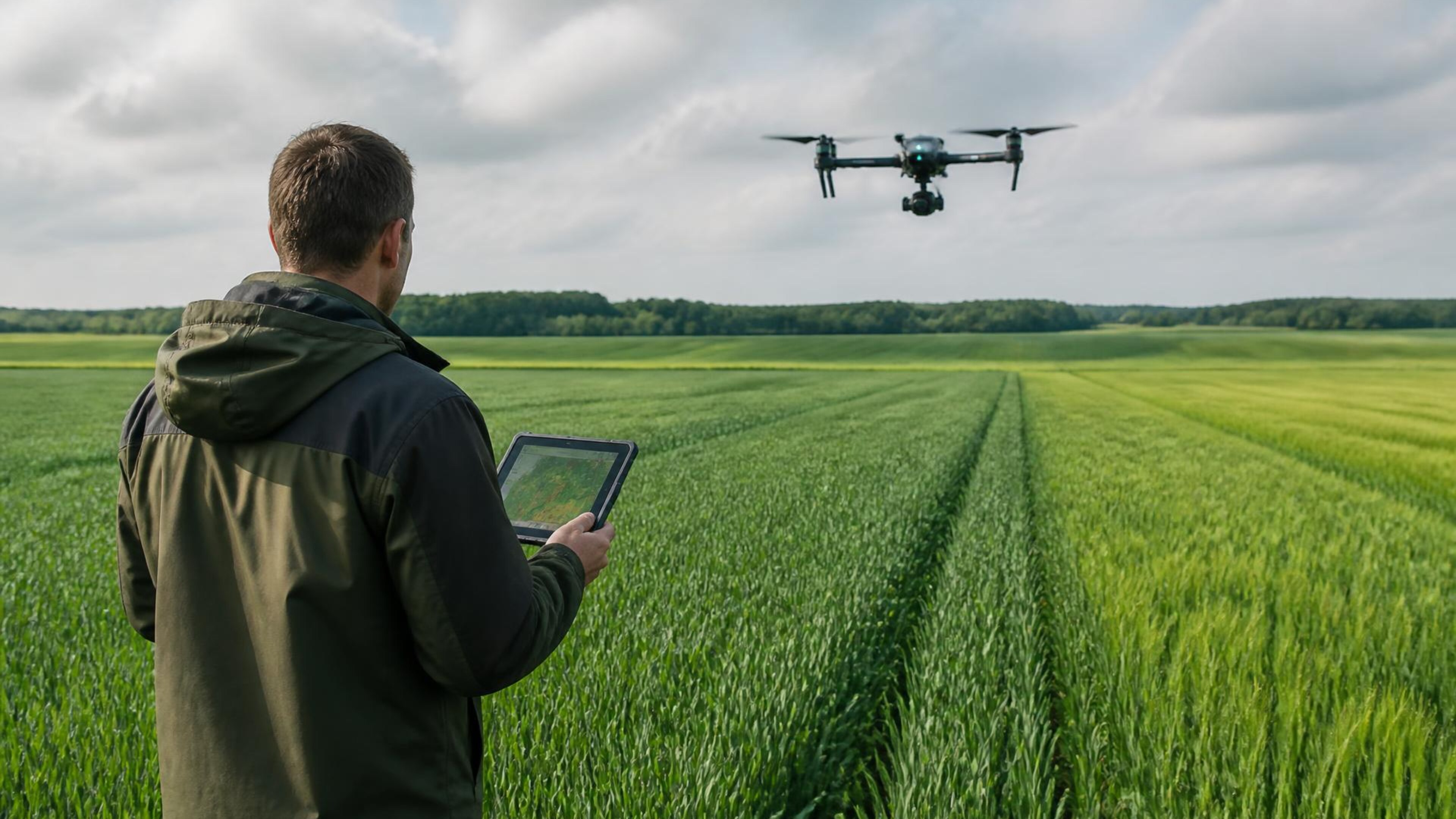
SkyCore
Flexible operations across Slovakia, Hungary and neighbouring regions.
Draw its boundary, get an instant area measurement and send us the brief.
Measure your field